Via Transilvanica 2
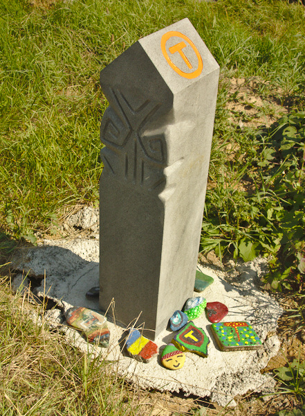
Via Transilvanica is a 1000km hiking path that connects North with South Romania and crosses the country's most beautiful landscapes. It is a new project, powered by Tășuleasa Social. The path is marked with an orange "T" sign and with a milestone for each kilometer.
This hike: Bucovina, Poiana Stampei - Putna, ~140km out of 1000km
Participants: Bogdan, Diana, Antoniu, Mihu & gratefulmood.com
Via Transilvanica milestone 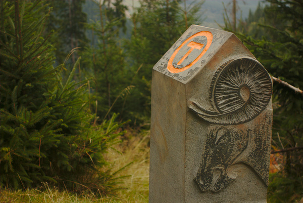
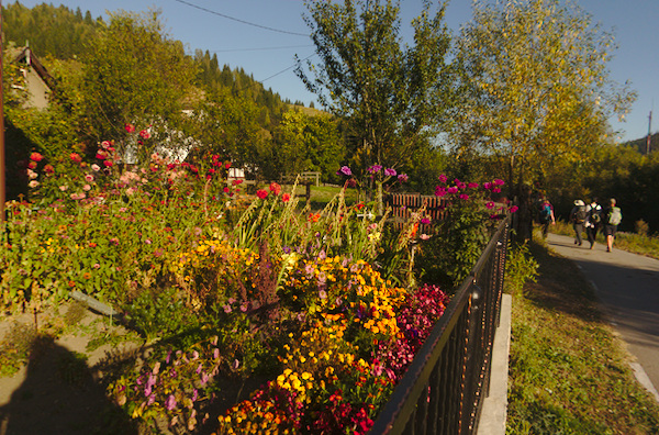
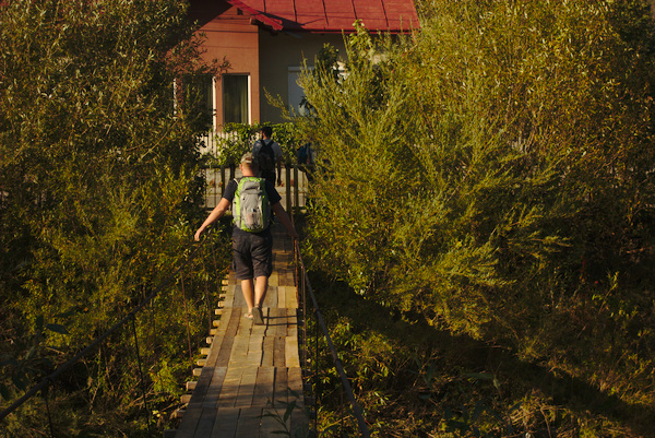
During the hike, travelers can experience Romania's village hospitality, stay in people's homes or in traditional guest houses and eat delicious romanian food.
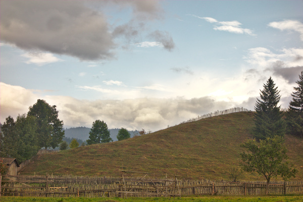
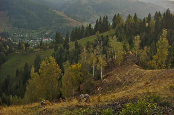
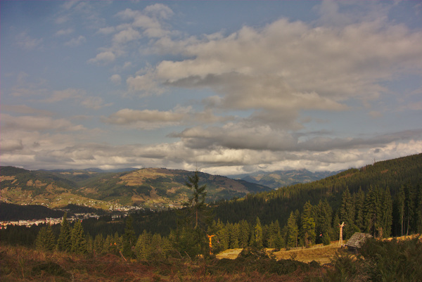
Paltinu village, Bucovina
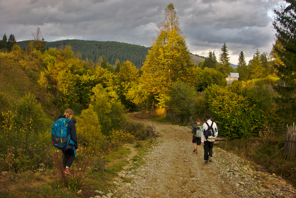
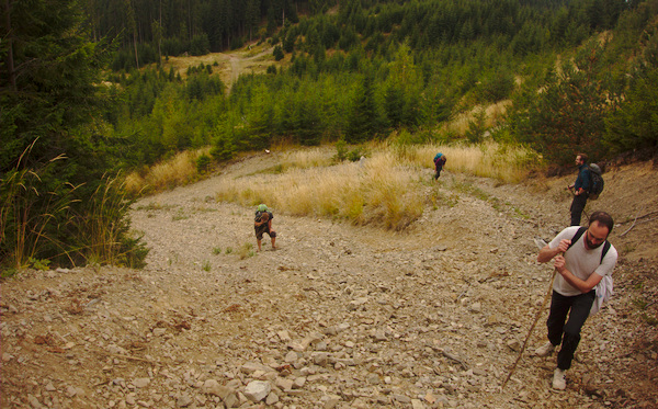
On Via Transilvanica 2, we went as a group of ~5 people. The organizer, Bogdan, planned everything up to the last detail: he made reservations in guest houses long before, informed himself really well about the hikes, checked the weather and kept everyone motivated. During the adventure, he was always making sure we respect the schedule.
Bogdan
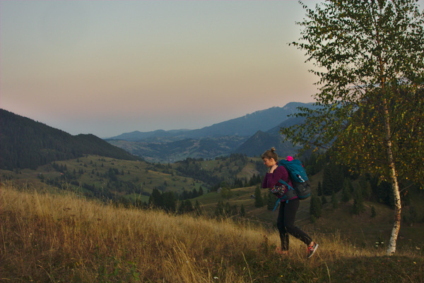
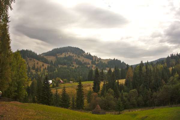
On the way to Fundul Moldovei
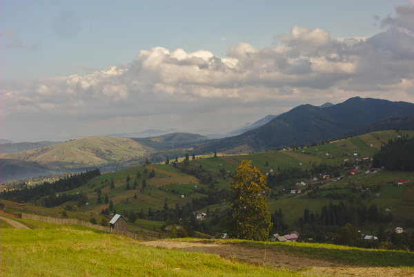
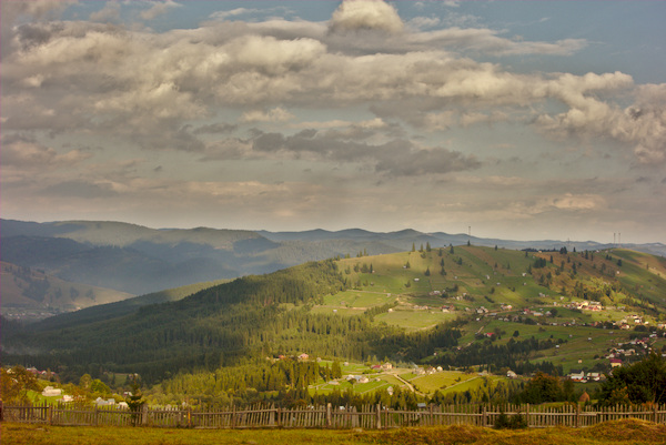
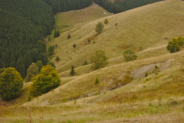
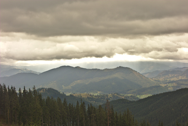
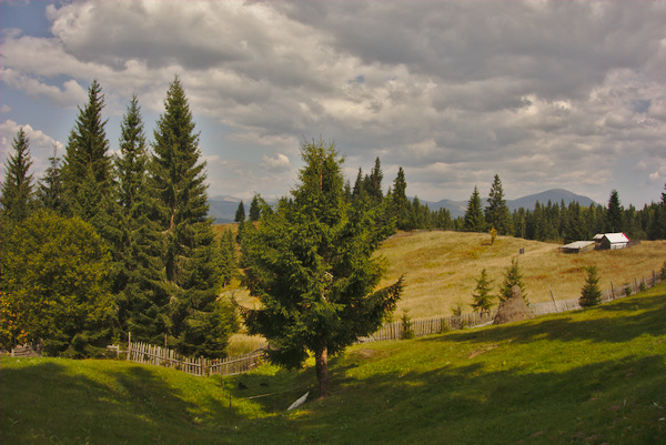
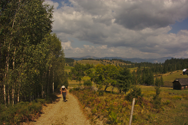
In the North of Romania, travellers can enjoy mountains with wavelike shapes, remote valleys and deep forests. The average altitude of the hike is 1000m.
The path to Vatra Moldovitei
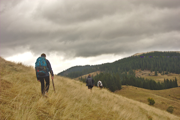
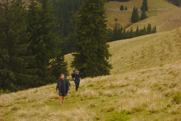
Sometimes the route can get very steep, you can get lost or scared in the darkness of the night.. but all this, just adds a bit of thrill to the adventure.
Getting tired
Very steep part, towards Vatra Moldovitei
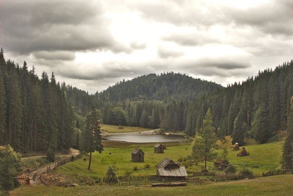
Beautiful lake, after Sadova
Sadova
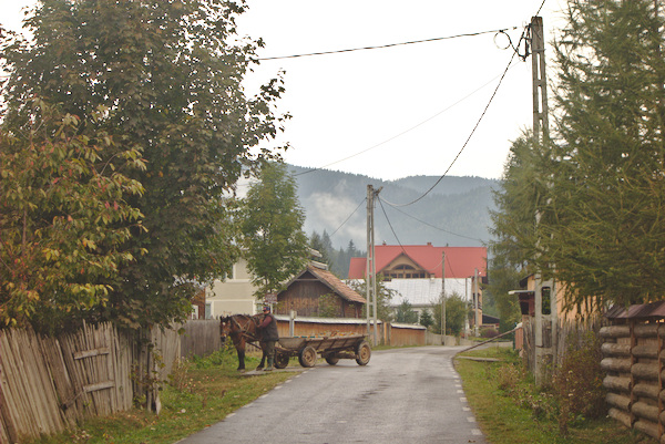
Wain with horse
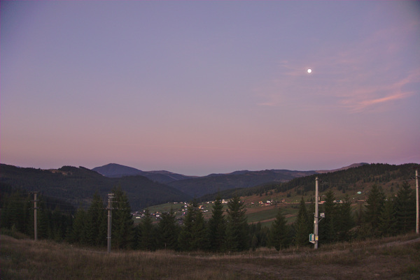
At sunset, a bit far from the destination...
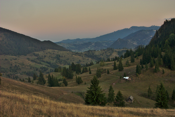
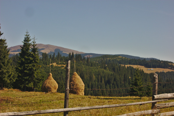
Valley before Sadova
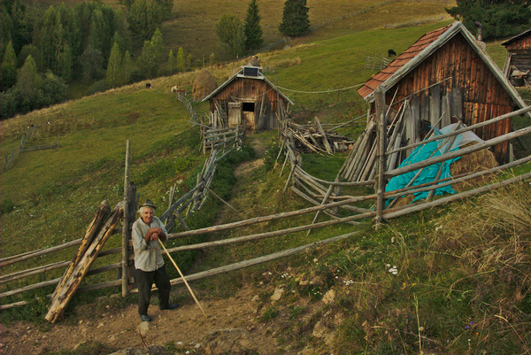
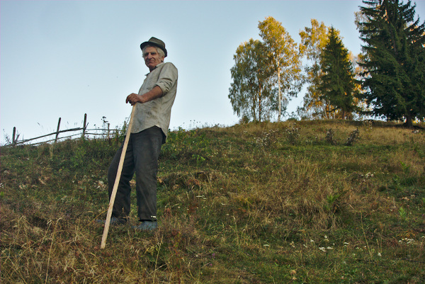
Between Fundul Moldovei and Sadova, we met a man, living all alone, at least one hour away from the nearest village, with no access road or neighbours. When we left, a magic sound started coming from his flute, filling in harmony the space around.. The music and his dog - were his only companions.
Flowers in Fundul Moldovei
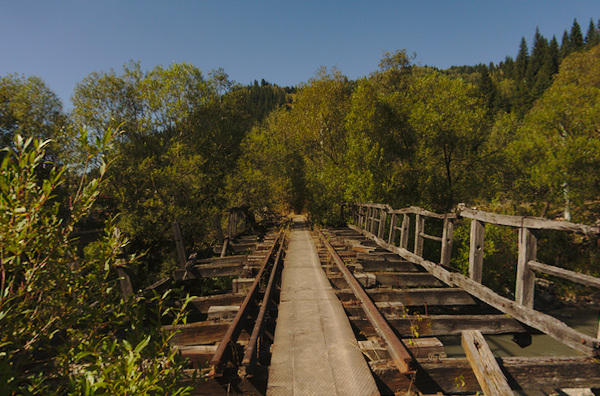
Bridges
Sunrise in Mestecanis
Vatra Dornei
Cows in the mountains
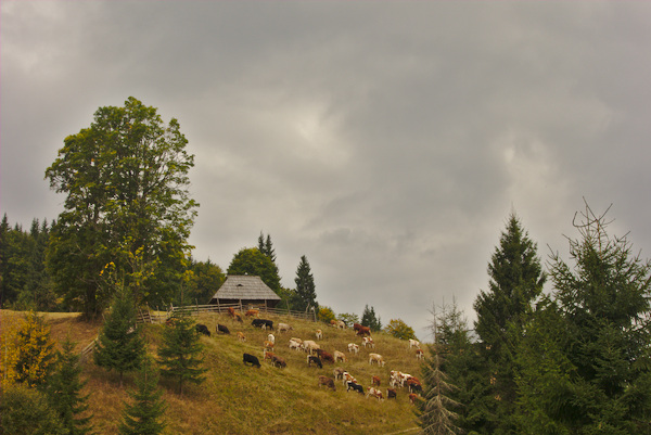
Near Poiana Stampei
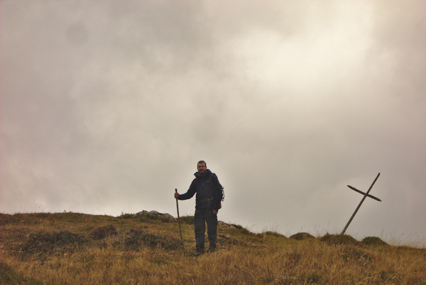
Poiana Stampei, the first milestone from this trip